Day 38: Lillehammer (Sprint)
Author: Steve
After a lazy morning we once more crossed the footbridge into Lillehammer, heading this time to the open air museum of Maihaugen. This is an amazing place with over 200 old buildings collected from this region of Norway and reconstructed across the hillside. Even more amazing, this happened 120 years ago.
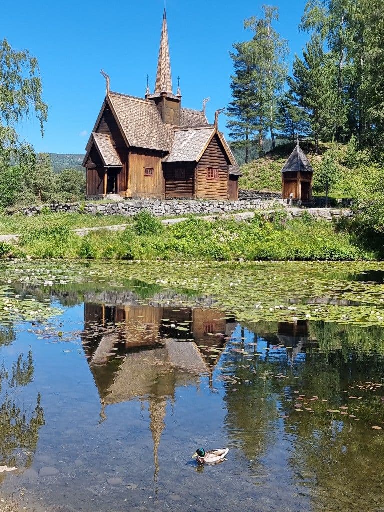
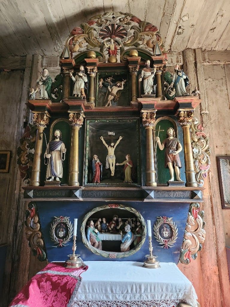
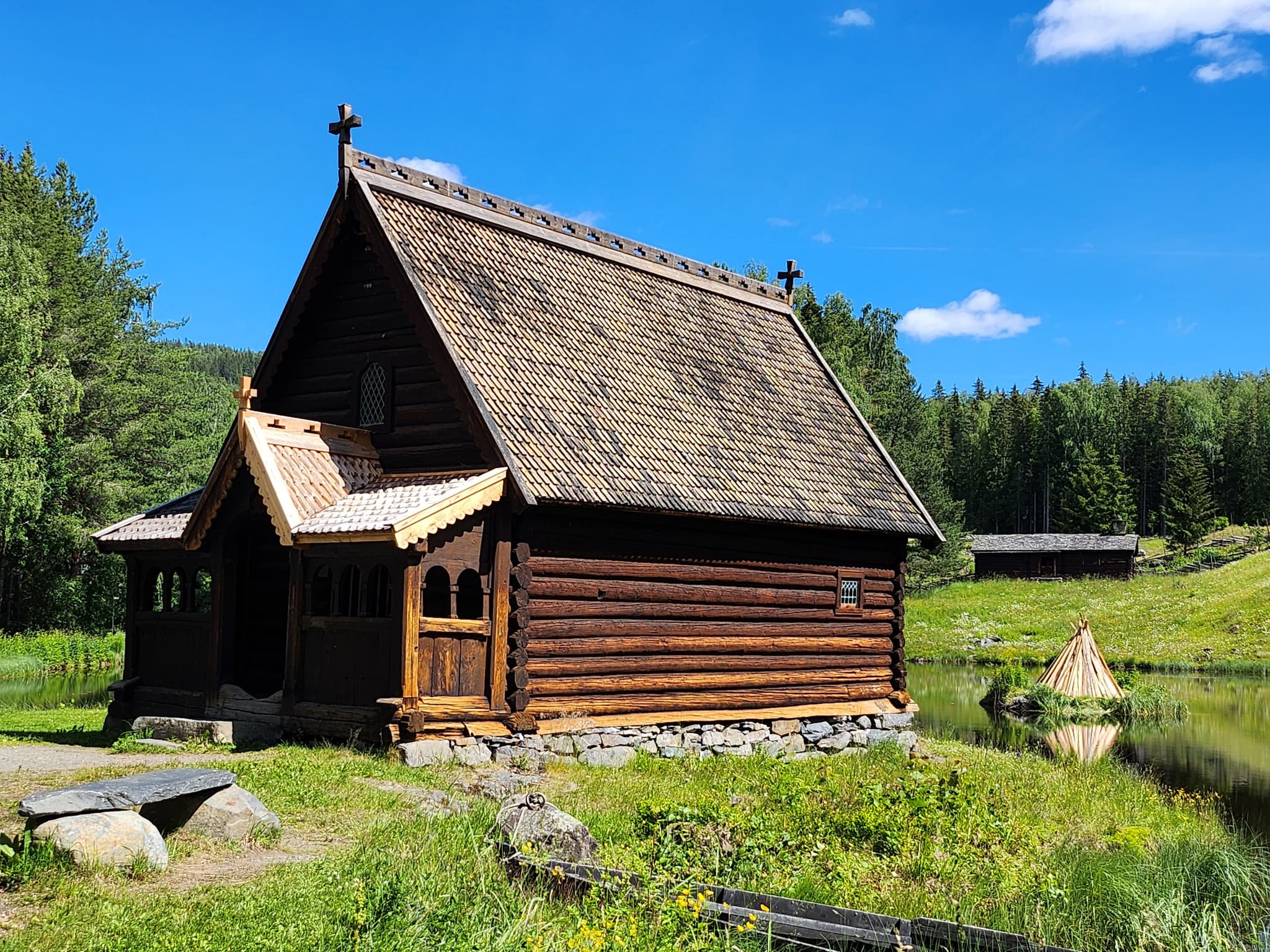
The first place we stopped was at a 12th century stave church.
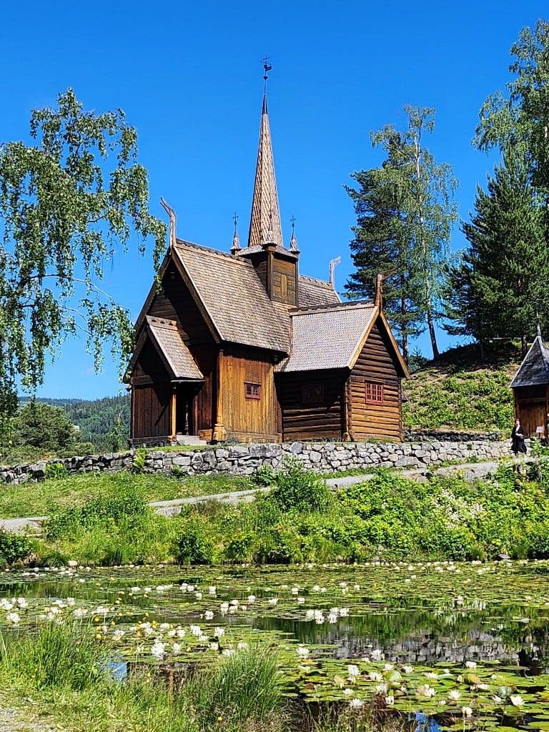
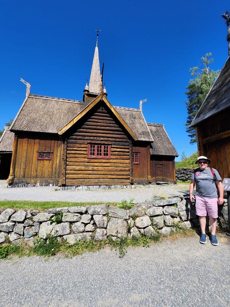
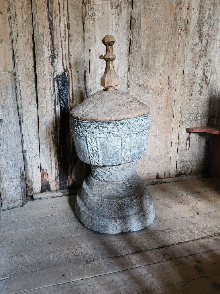
It had been added on to several times over the centuries with the difference in style and construction obvious. Inside was a 12th century font and a 16th century altar piece.
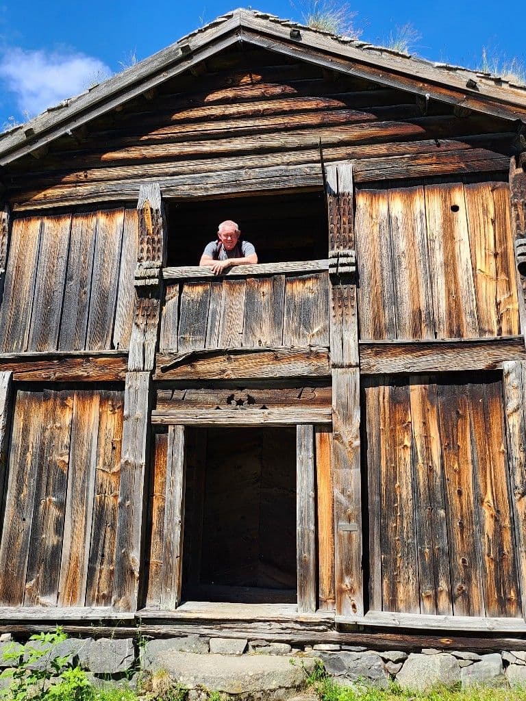
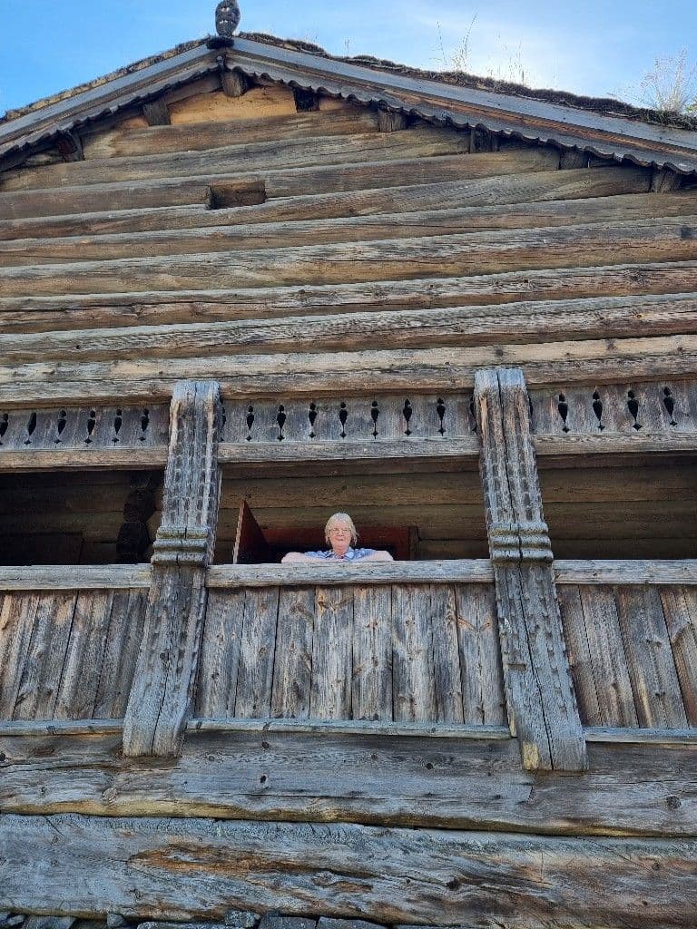
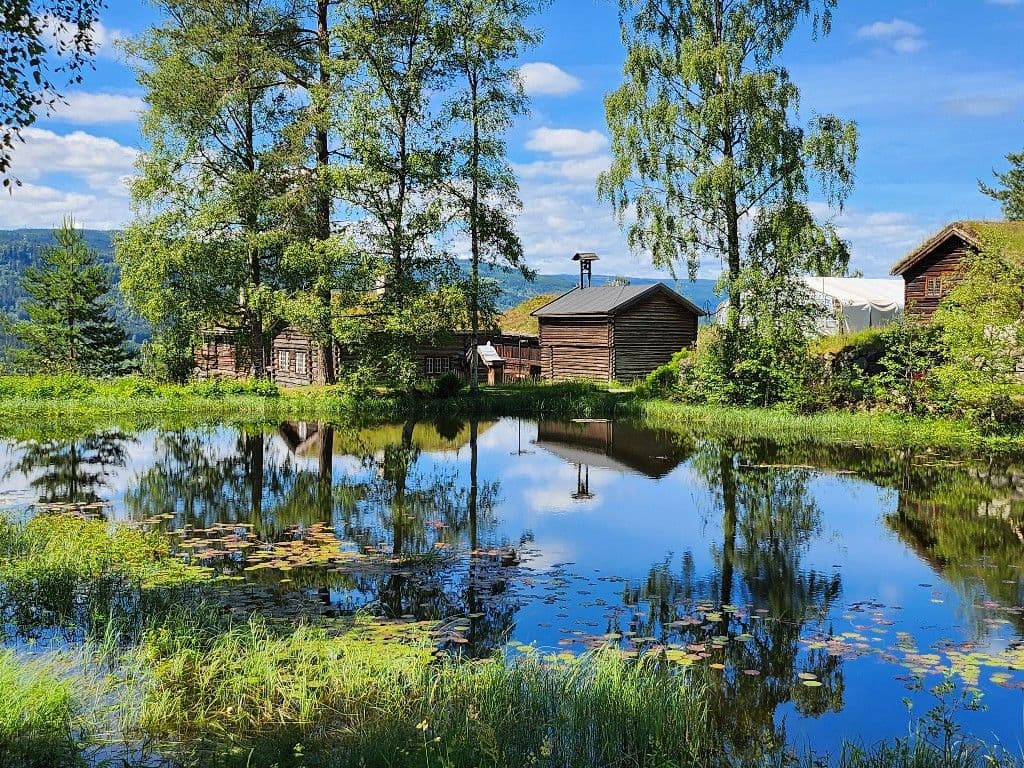
From here, we walked past the pond to a Medieval Farm, with all 27 of the farm buildings having been moved here and set up roughly how they were on the original farm.
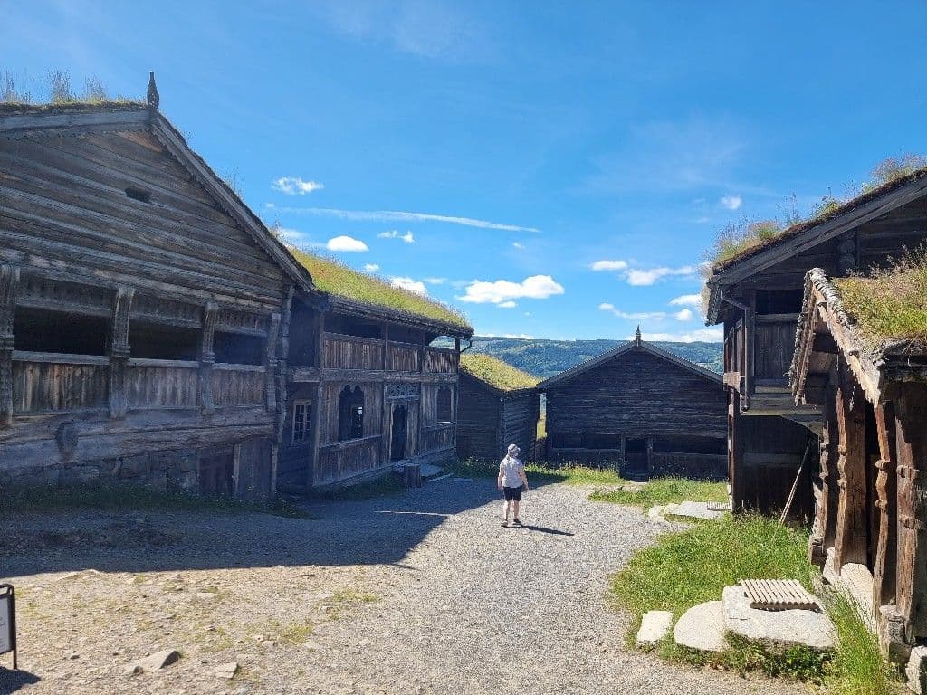
Where a guide was present, we were allowed into the buildings, otherwise we could stand on the porch and peer in, informed by a brief description panel.
There were also other old buildings and churches dotted around the site; time prevented us visiting many of them.
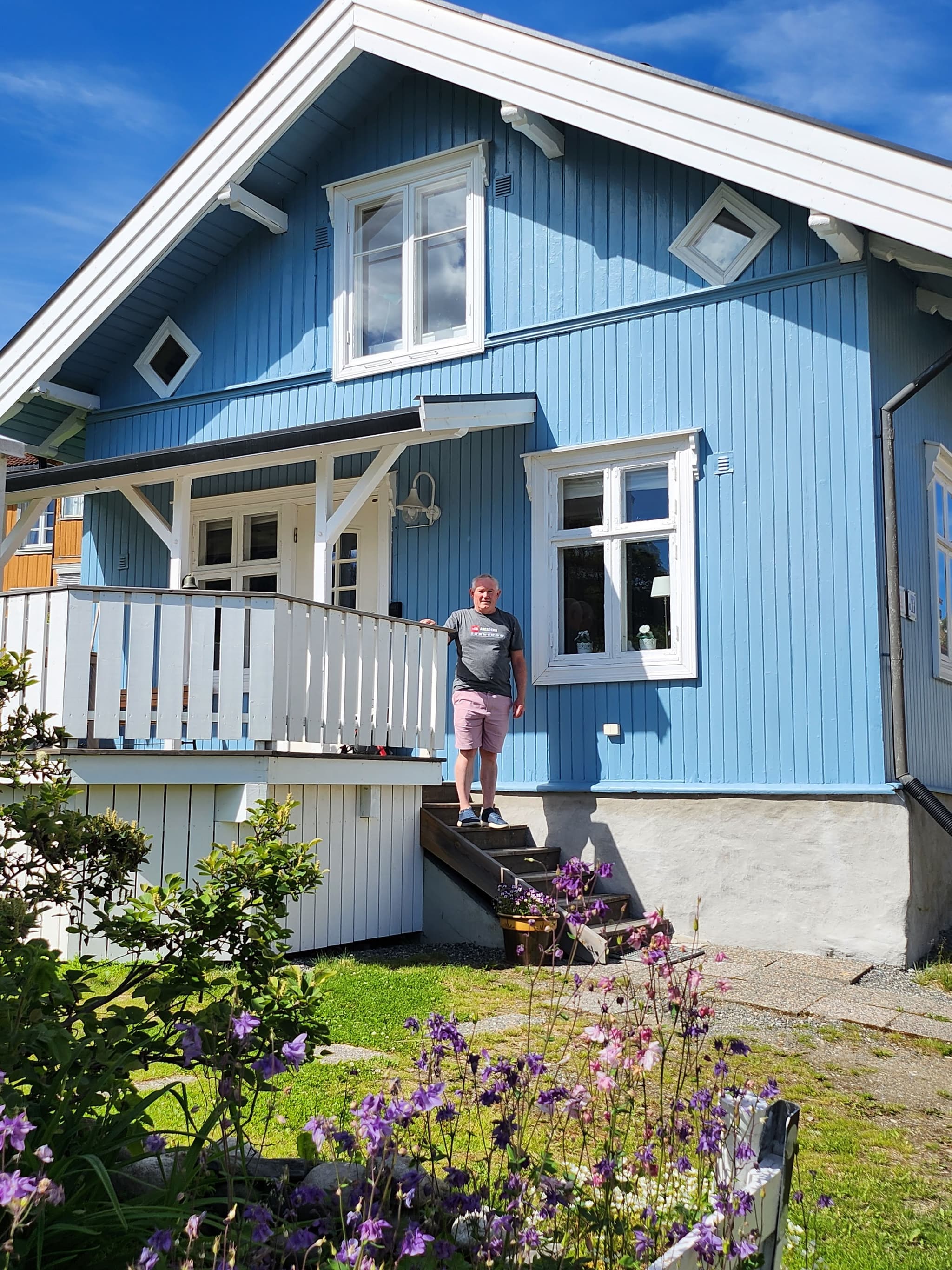
Near the end of our loop around the site, we came across the Residential Street. This is a brilliant idea where the museum has bought a house of typical design from each decade of the 20th century, decorated it as it would have been when new and tell a bit of a story about the original occupants. Some of the houses even have a period car in their garage.
There was also a town with old shops but by now we were getting foot weary.
We made one more stop before we left - to the Norwegian Olympic Museum, which told the story of the Lillehammer Winter Olympics in 1994 and made a token attempt to convince us that Norway did pretty well in the summer Olympics as well.
Back at the cottage, we had time for a late lunch and an early snooze before it was time for me to head out orienteering.
Non-orienteering readers of the blog can stop here as the following contains too many details that only an orienteer could appreciate.
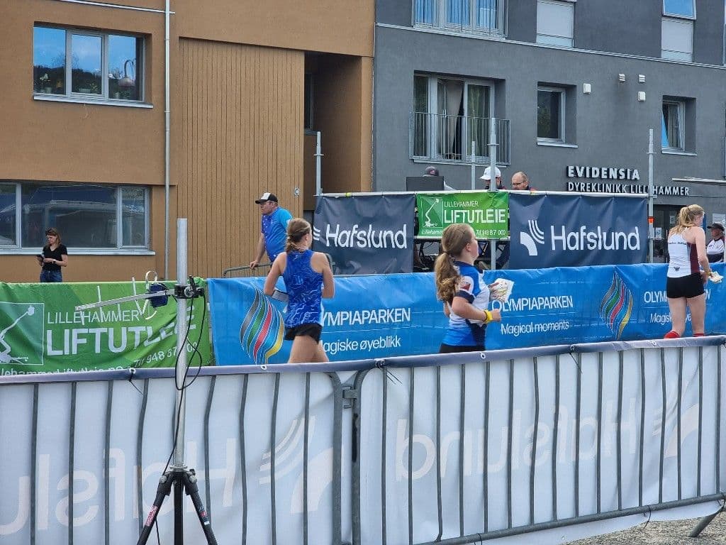
This evening is the Sprint event of the Norwegian O-Festival. I walked back across the bridge, up to the railway station and then followed the flags to the event centre. I quickly found the other New Zealand competitors - Briana, Kaia, Katherine, Riley, Sarah, Scott, Zara and Zefa - all of whom are here because of JWOC, as competitor, coach or cheerleader. I also ran into Jim from Australia who will be running in my grade.
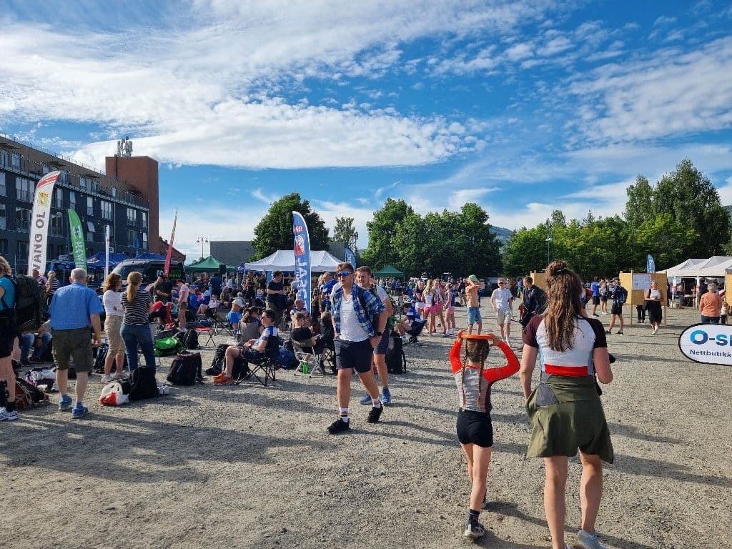
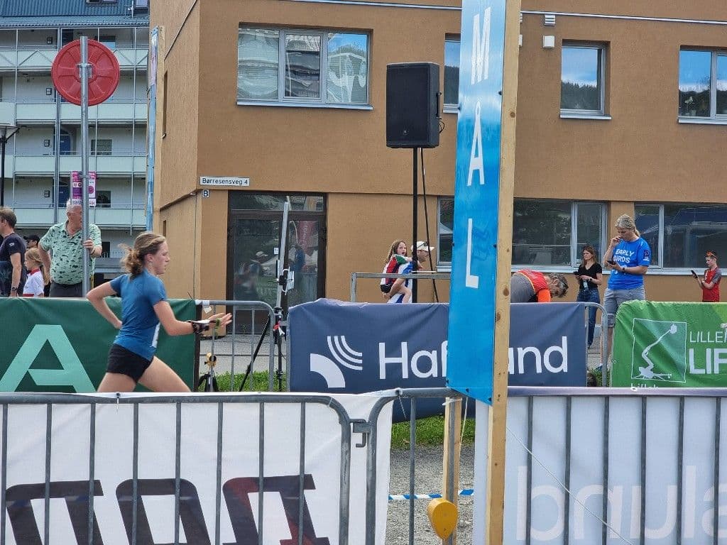
I figured out how to get my rental emitTag and then spent some time in the O-Shop. I returned to the finish chute in time to get hurried photos of Katherine and Zara as they finished.
Then it was time for me to head to the start. I wasn't sure how I would do. I'm on day 7 of Covid and, while I feel mostly OK, I'm aware that Covid can take a lot of energy out of you, and I certainly haven't been doing any running for the last week. So I set out to enjoy myself and was prepared to walk most of the course, if necessary.
I had a bit of a scare in the pre-start. I picked up the control descriptions for H60 and then noticed the guy next to me picking up the D40 descriptions. Cue a moment of panic as I worked out that H definitely stood for Herre and D for Dame and I had entered the correct course. All was resolved when he picked up the D40 map a minute later and then realised he had made a mistake. By the time that was sorted out there was only time for the starter to give instructions in Norwegian before the start clock beeped. Luckily, his first words to me in English were "don't worry, punching start" so I waited for the information and started 20 seconds after everyone else.
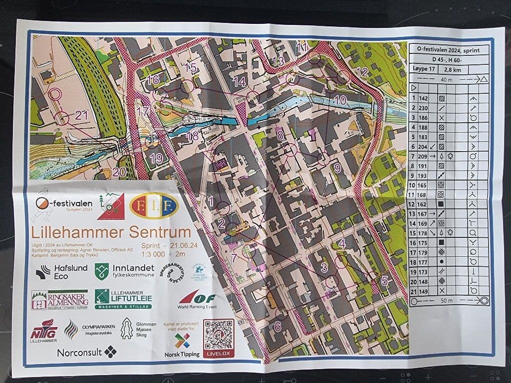
My first impression was that this was a good example of a city sprint map with lots of buildings, alleyways and route choice. And so it proved.
The town is built on a hillside with the lake to the west. The organisers were kind enough to make the first two legs on the flat, both with left or right around the building route choices. This led me into the map nicely. Then it was a slog up the hill to 3, 4 and 5, including passing along and across the main shopping and dining street with plenty of shoppers and diners to avoid. That street is a permanent pedestrian only street but actually the whole course was closed to vehicles for the evening so that was one less thing to worry about.
We lost all the height we had gained on the leg to 6 before heading back up the hill from 7 to 8 and 9. Then there was a route choice across the river which was a lot nicer on the Elites courses with the slightly different control sites bringing the third small bridge into play.
There was a lot of back and forth for the next few controls and this caught Jim out as he mispunched when he stopped a few centimetres short and his tag didn't connect. He was most annoyed that the Norwegians don't recognise "Mispunched" as a result and so he was officially recorded as "Disqualified".
I made my only mistake from 14. I reoriented my map but failed to do the same to my person and took off at 90 degrees to the north rather than the west. Luckily, the building sizes alerted me to my error quickly and I stopped, looked back at the control and realised immediately what I had done.
From there it was mostly a procession to the finish, down the track by the river. The path up to the last control had had the contours removed, although they were still showing on the surrounding hillside, so it was an unpleasant surprise to turn the corner off the bridge and see the hill looming in front of me. I'd walked up a few of the steeper bits around town but peer pressure doesn't allow that at the finish with a lot of spectators.
I ran in to the finish very happy with my 22 minutes. A Steve who was fit and not fat (rather than the other way around) would have excelled on that map.
From there, it just remained to exchange a few war stories and then commence the long trudge back across the bridge to the cottage.